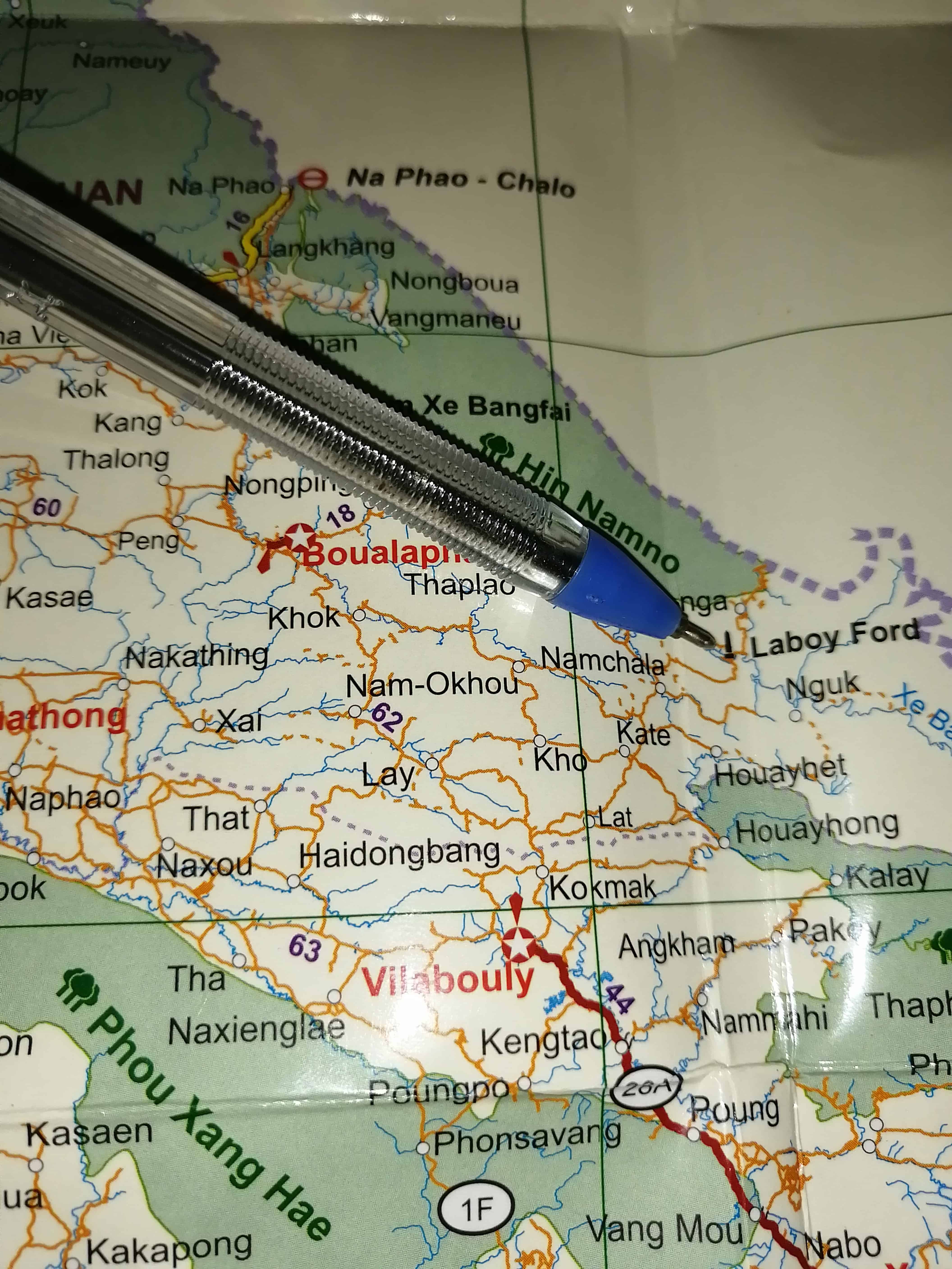
Tales From The Ho Chi Minh Trail (Choke Points-Ban Laboy Ford)
Ban Laboy Ford was a key crossing into Laos from Vietnam, it Joined a labyrinth of trails for the Vietnamese to disappear into…
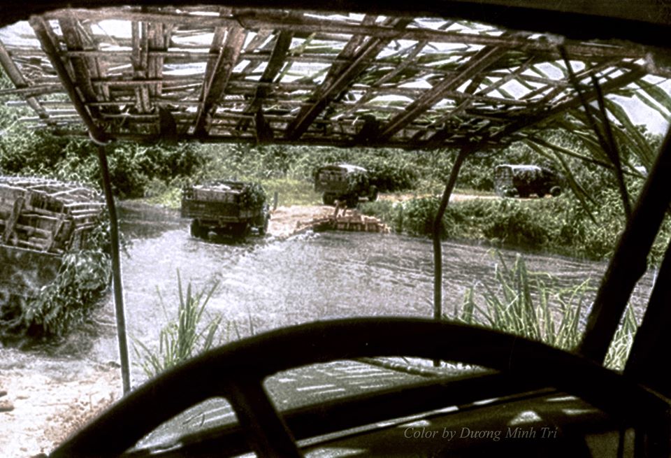
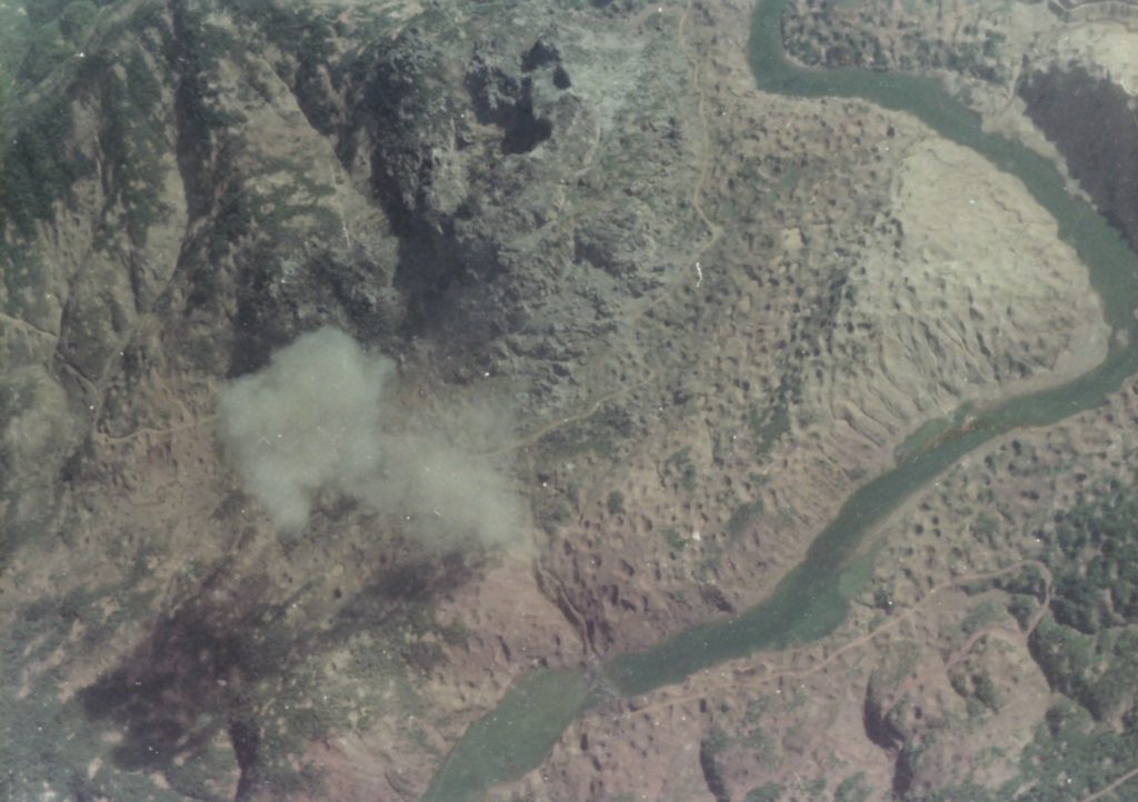
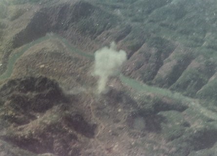
Choke points were basically intersections of roads, where they met or crossed, so they would become targets for the Bombers above, the thinking would be that it would cause blockages and disruption to the convoys. This was true and it did cause disruption, death and loss of equipment going south, the Vietnamese were prepared for this.
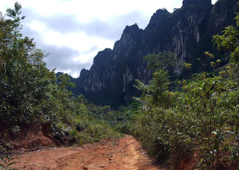
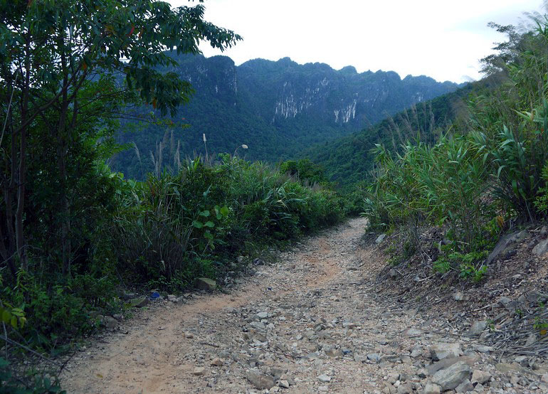
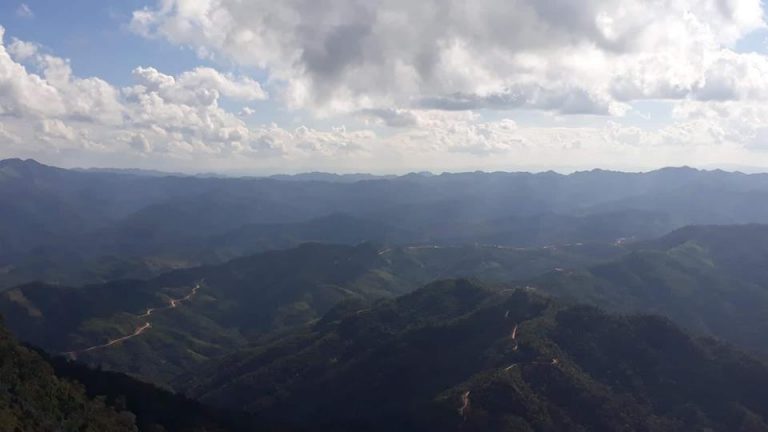
The Ho Chi Minh Trail was a network of trails throughout southern Laos below the DMZ (De-militarized Zone) on the 17th Parallel, men and munitions would infiltrate Laos in many locations down the length of their shared borders through the Annamite mountain ranges.
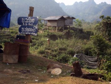
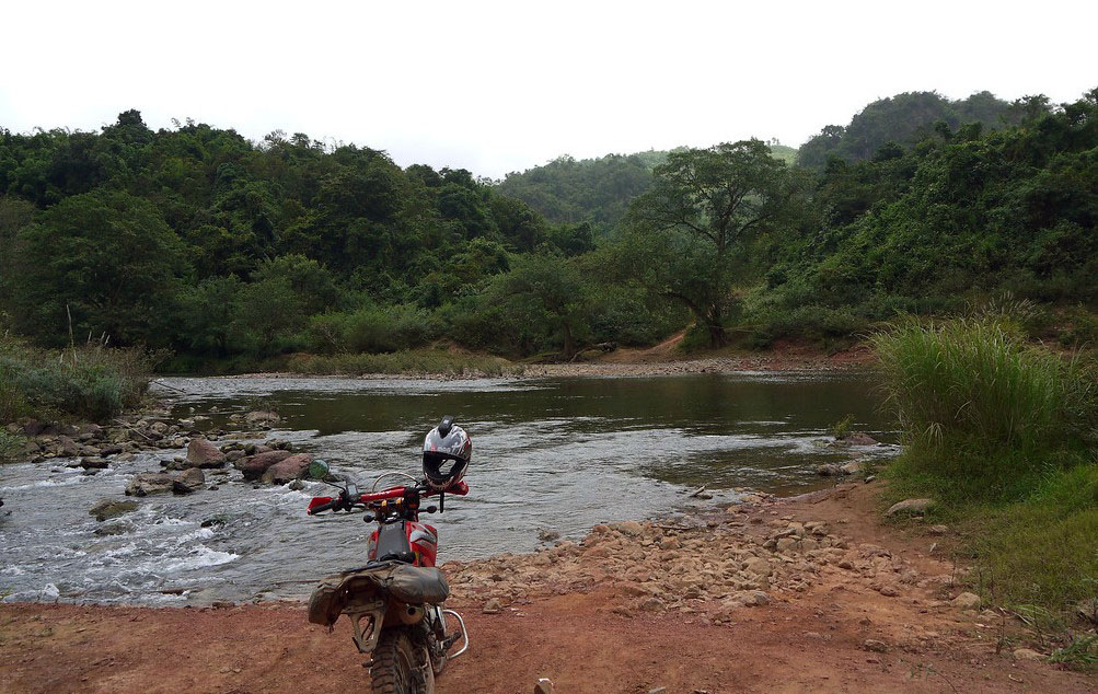
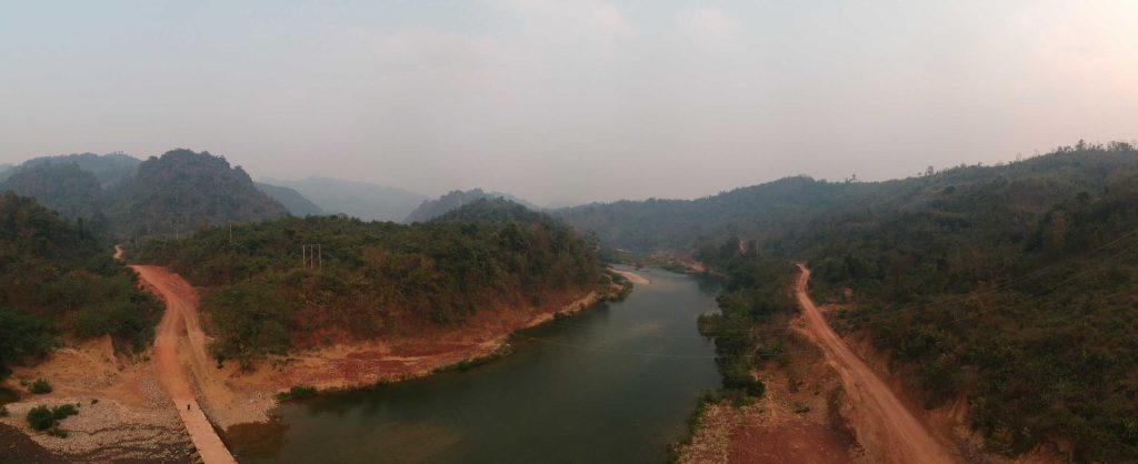
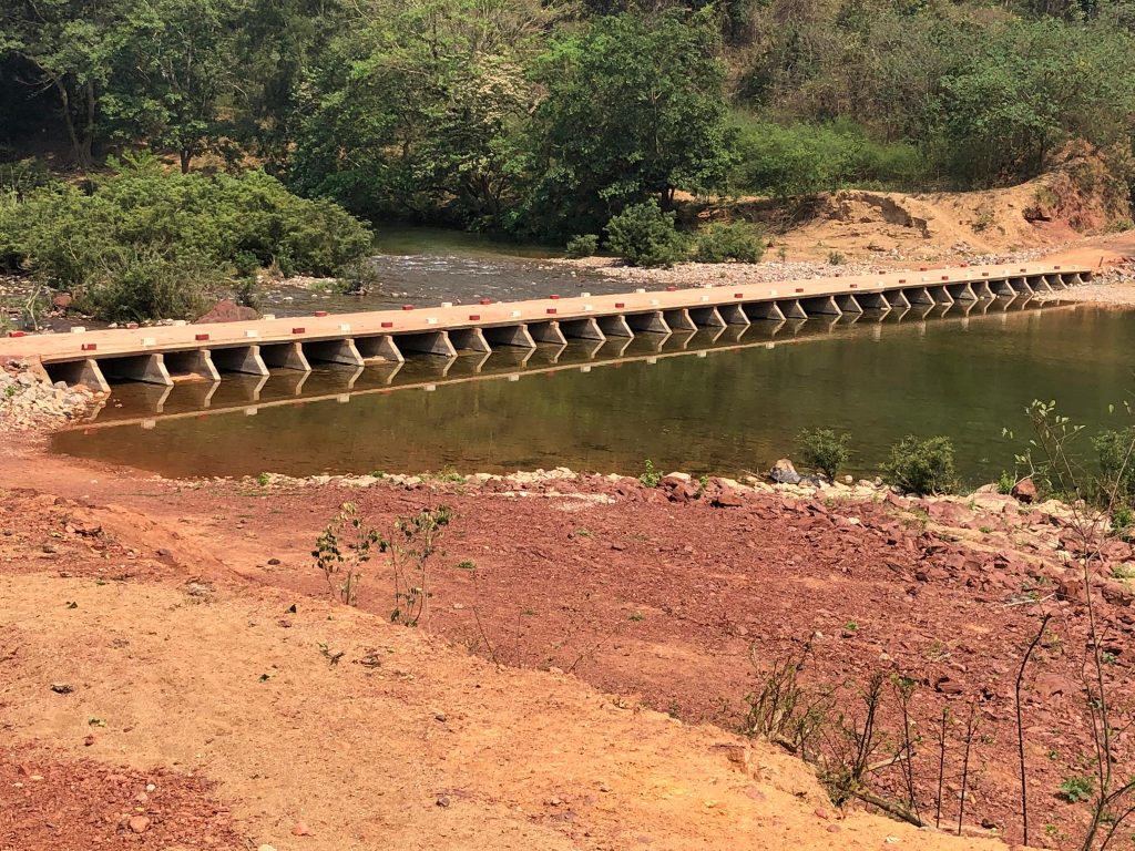
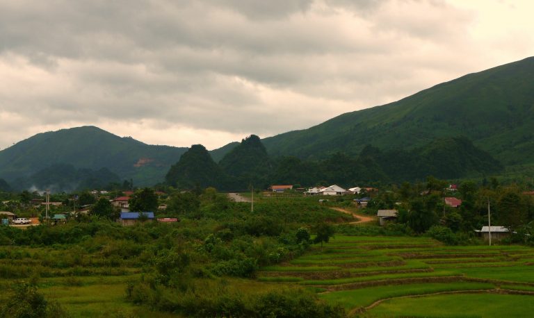
One of the most famous, or well used was Ban Laboy Ford, it was very close the village of Ban Laboy so the ford took its name, and Fords the Xe Bangfai River. The trucks would come in over the Ban Kari Pass into Laos, there’s a few small villages en route to Ban Laboy, still cobbled in places, large section intact, the trucks would then traverse the Ford and head over the Phu La NIche Pass into Khammouane Province, once over the pass the network would break up into different trails, shortly after they would be in Savannaket Province.
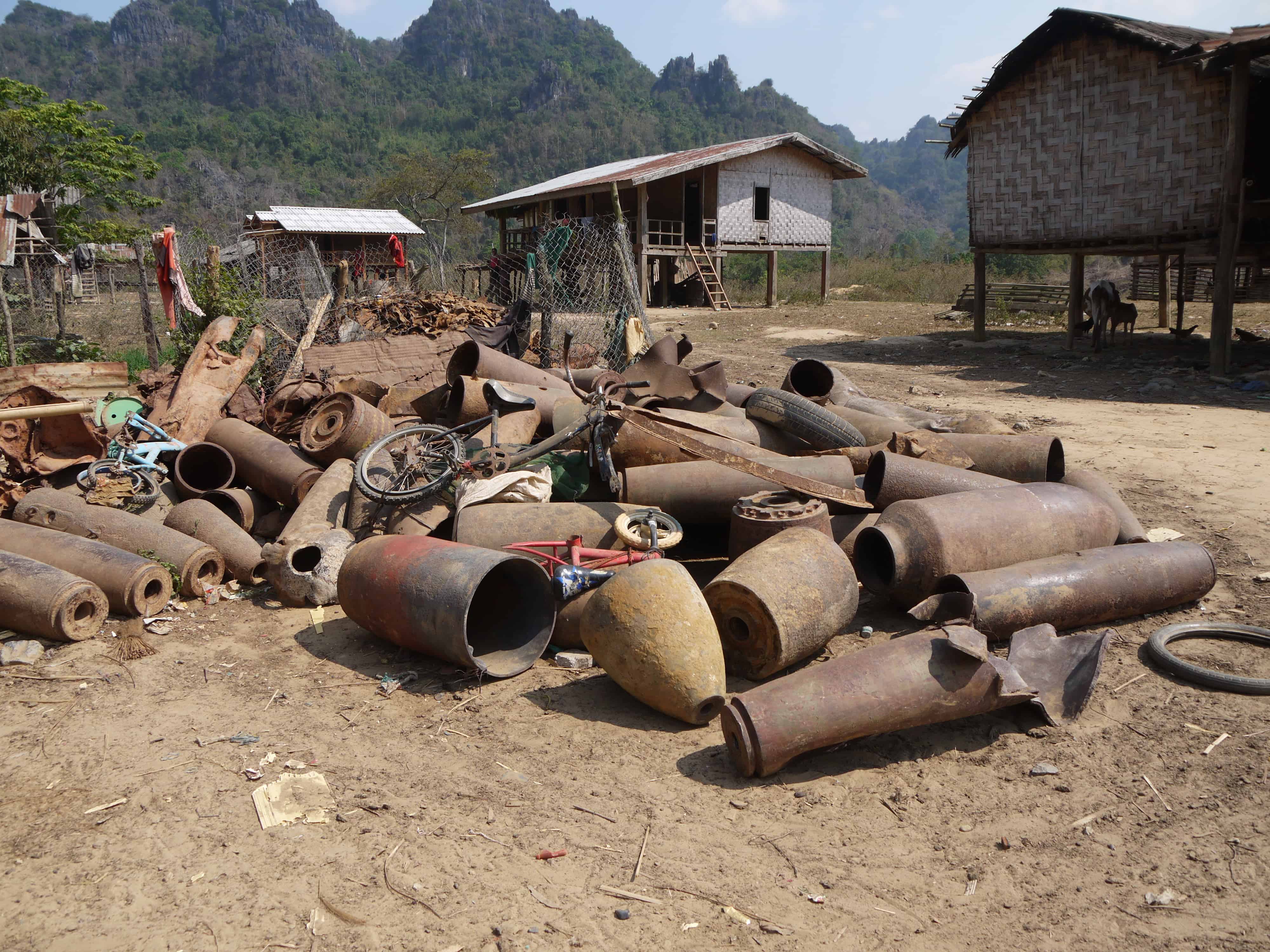
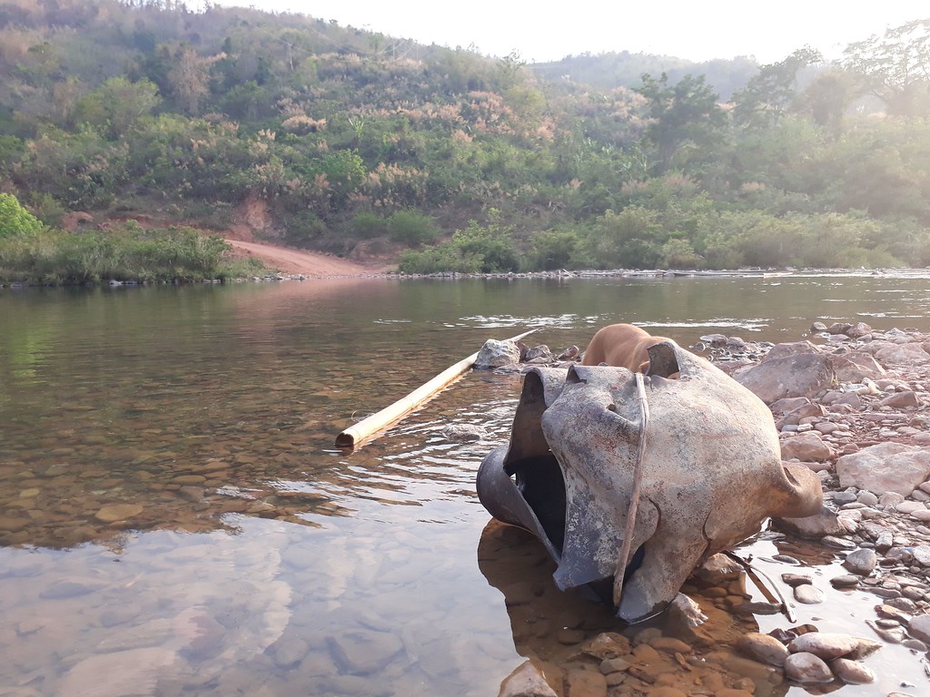
Ban Laboy Ford hold the record of being the most Bombed place on earth per Capita, it got hammered with bombs which are still laying around today, when the ford got damaged, they had a secondary ford further upstream, which had an underwater bridge, that also became a target. At one point the US were considering trying to dam the river downstream by blowing up mountains and flooding the whole area, it never happened thankfully.
If the bombers could disrupt the flow over the mountains into Laos it would be of significance, but the Vietnamese cared little about losing men or machine, send another would be the attitude. The Americans had one arm tied behind their backs at the best of times, whatever got thrown at Ban Laboy Ford would cause a choke point, but asap it would soon be operational.
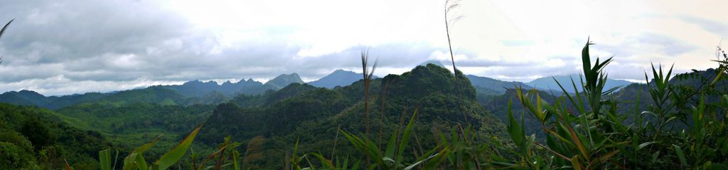
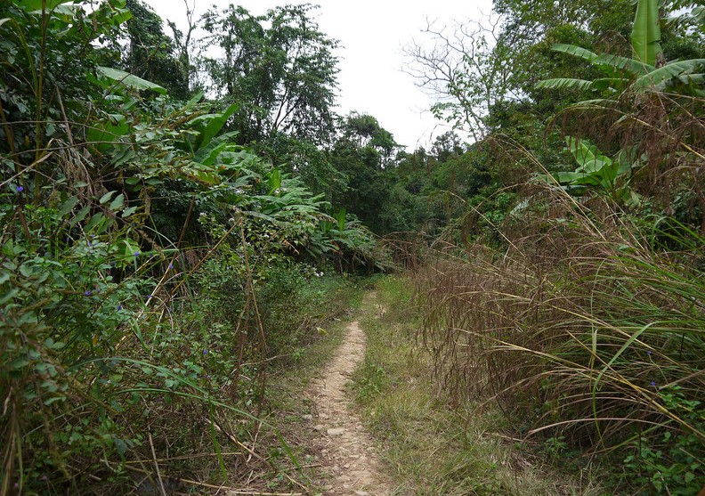
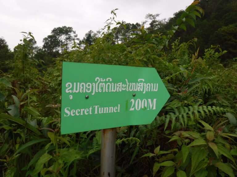
The area is one of Beauty, now the river has a bridge and the ford is no longer used, 2019 saw the bridge erected. The area holds many secrets and is an interesting place, the locals are much friendlier than in the past, it’s an extremely important part of the trails History.
Updated April 18th 2020.
I crossed here in December 1970 after escaping a POW camp